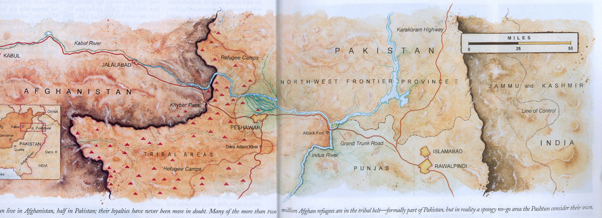
Every map, in the strict sense of the word, contains a kernel of geographical or topographical fact which dictates the basic form of visual presentation and places limits on the freedom or fantasy of its maker. Basically the map is a linear design elaborated by pictorial or geometrical symbols and accompanied by geographical names and legends. (pg 4)
(R.A. Skelton Maps: a historical survey of their study and collecting, 1972)Mapmaking is the process of winning data points from nature... The urge to map animates every quadrant of the modern scientific enterprise... new facts, new spatial measurements, produce new landscapes and new kinds of geography... The real breakthrough --messy and beyond category, a chain reaction rather than a single explosion-- is in twentieth-century science's ability to measure, and therefore to map, a breathtaking range of spatial domains... (pp 4-8)
(Stephen S. Hall Mapping the Next Millennium: the discovery of new geographies, 1992)

15 Nov 2001
Tom Grove asked that we consider the question of how maps are made. One part of that is certainly historical:
History of CartographyOn the more technical side:The History of Cartography related to Africa
Definitions of the word 'map', 1649-1996 (c) J. H. Andrews, January 1998
Map History / History of Cartography ("THE Gateway to the Subject")
How Topographic Maps Are MadeSome very miscellaneous examples from -nymy realms:Background Information on the ShakeMaps, a site worth exploring
Geonome, a Belgian surname-mapping siteUS Surnames by state
Some famous and ought-to-be famous epidemiological map examples:
Dr. Snow's Cholera Map and more details on SnowInstruments:The Atlas of Mortality in Europe Subnational patterns, 1980/1981 and 1990/1991
Epidemiological maps of France
Cancer Mortality Maps and Graphs for the US
FluNet (Global Influenza Surveillance Network)
Women and Heart Disease: An Atlas of Racial and Ethnic Disparities in Mortality and other Heart Disease and Stroke maps
Health Geomatics: An Enabling Suite of Technologies in Health and Healthcare M. N. Kamel Boulos, A. V. Roudsari, E. R. Carson Journal of Biomedical Informatics Vol. 34, No. 3, June 2001

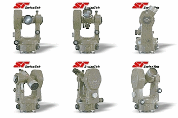
Theodolite
Ramsden’s Three-foot Theodolite, 1791Ramsden’s theodolite was used for measuring the angles in the Primary Triangulation of Great Britain. This was the first accurate survey of Britain and formed the foundation for the Ordnance Survey maps of the country...Jesse Ramsden was one of the foremost instrument-makers of his age. Two Ramsden theodolites were used in the survey and the first could take a bearing on a mark 70 miles away with an error of only 1/180th of a degree. This, the second instrument, was even more accurate. Despite their great weight, the theodolites were carried to the tops of mountains, steeples and specially-built scaffolds to obtain lines of sight. The measurements taken during the survey were so accurate that they were used for the next 150 years.