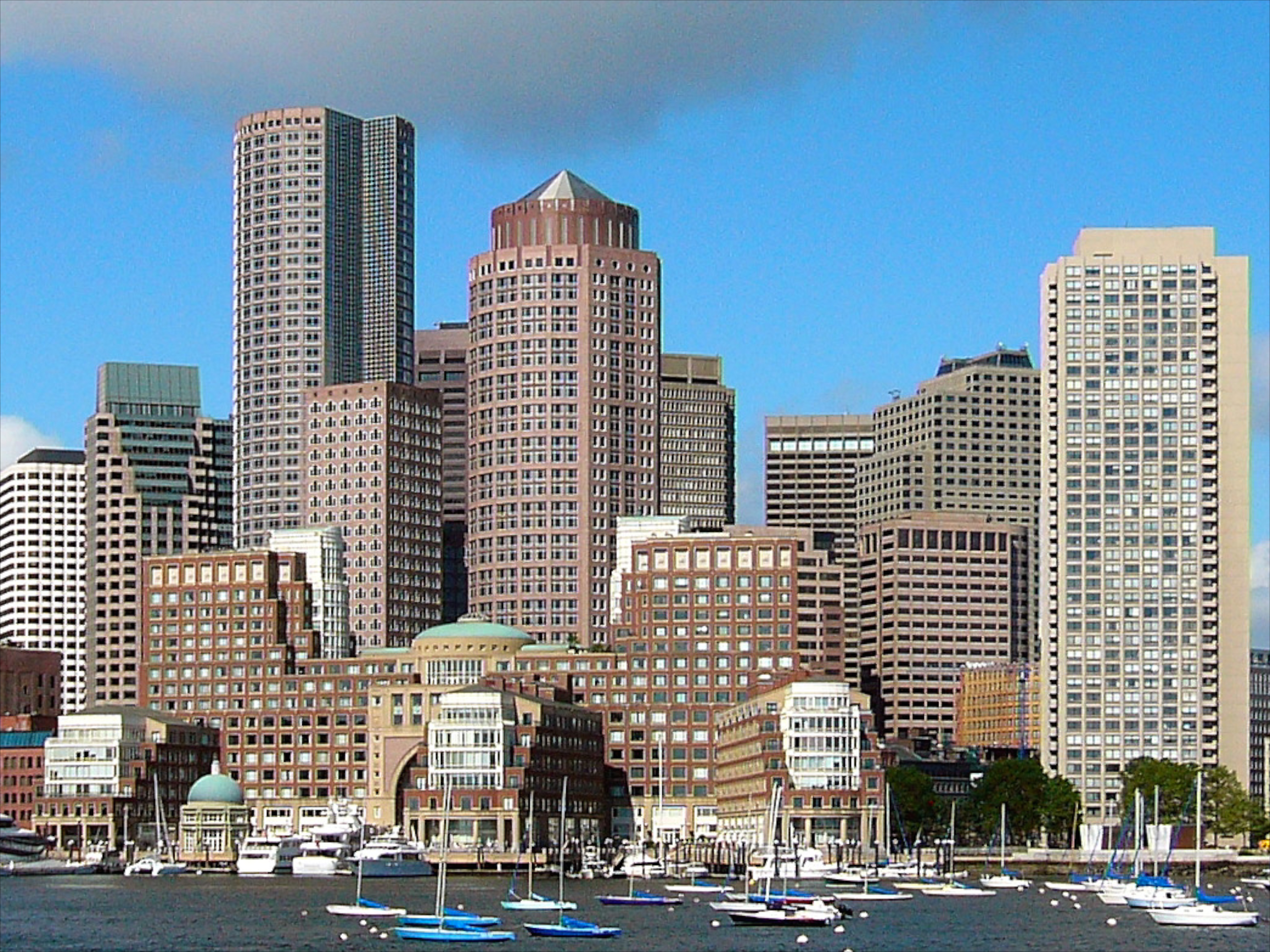
(the building is in the center, just behind the round tower)
(the building is in the center, just behind the round tower)
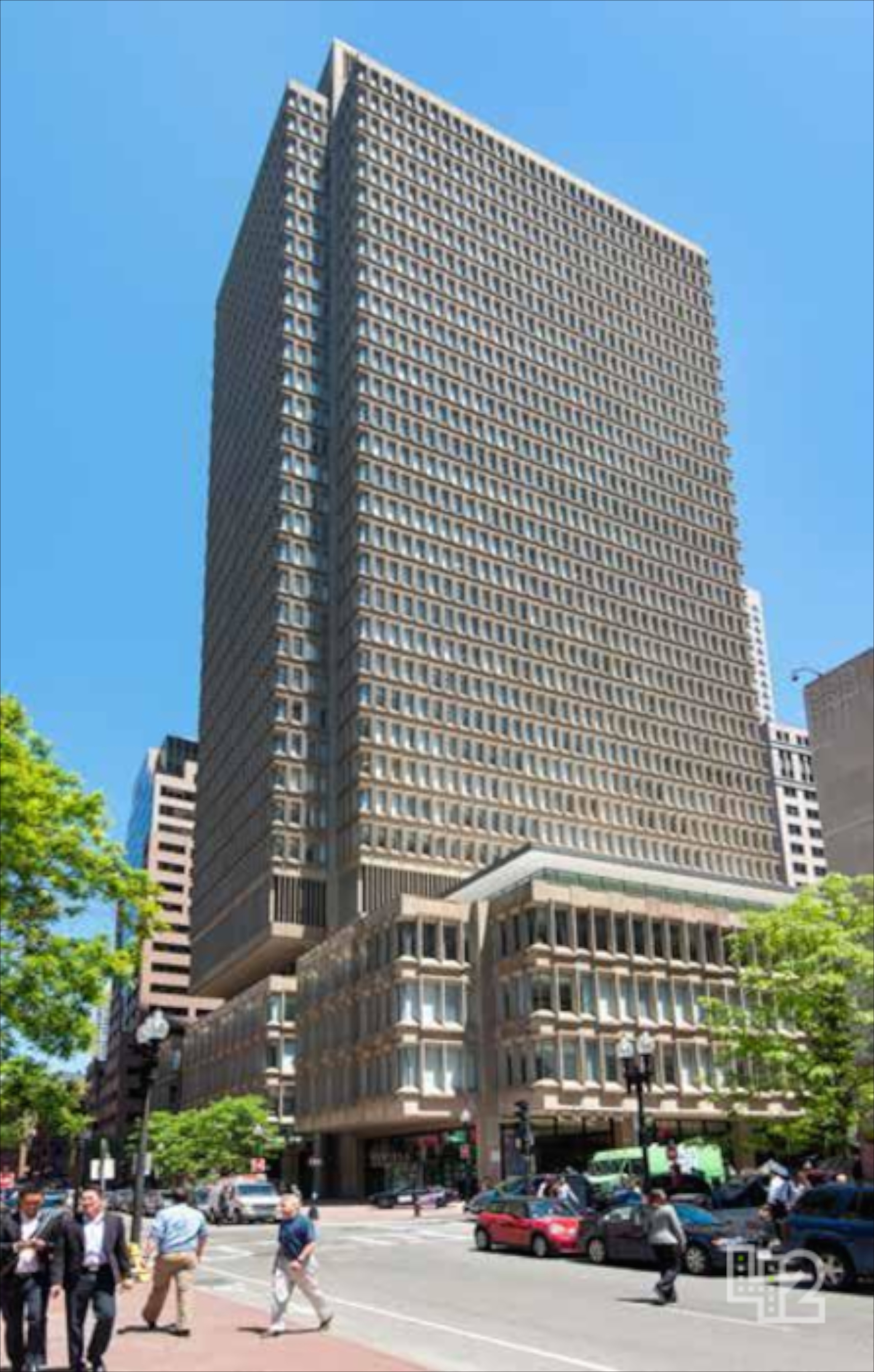
This contemporary real estate image suggests how gently the building itself has aged:
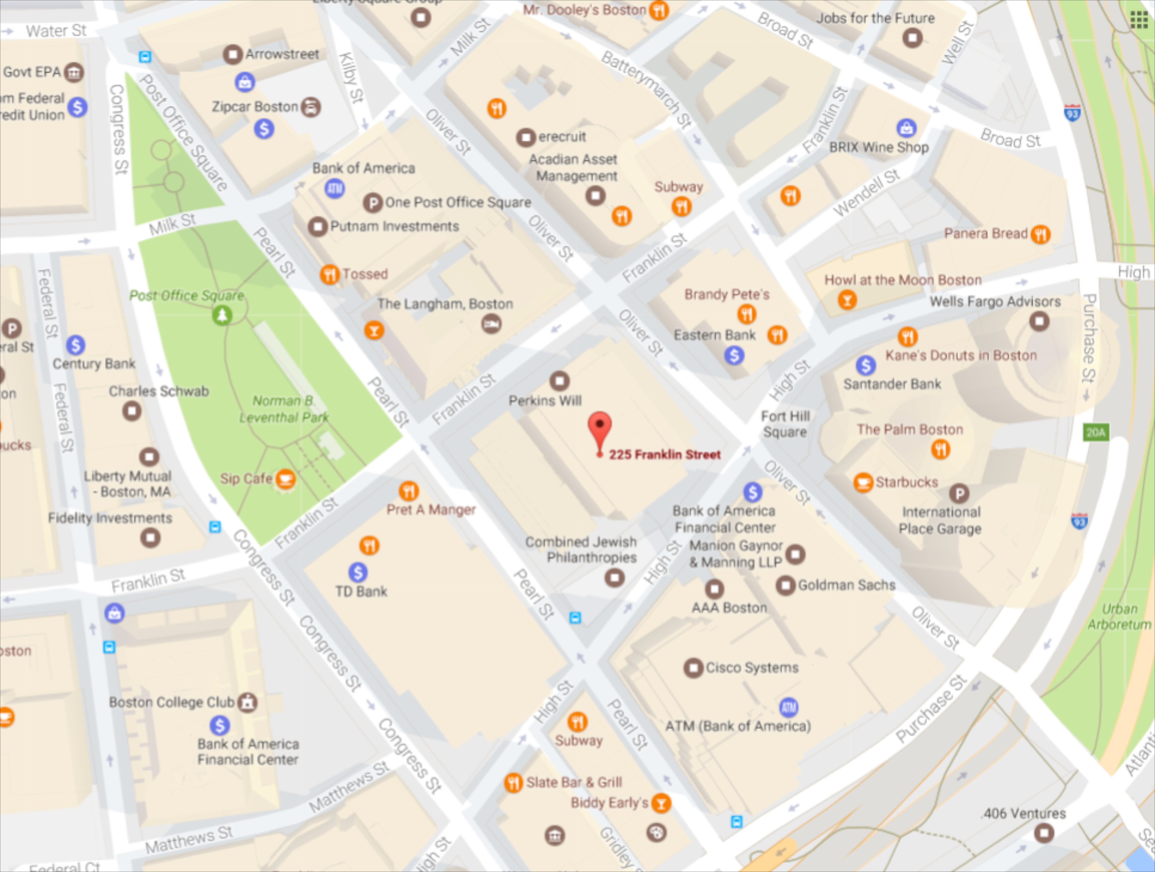
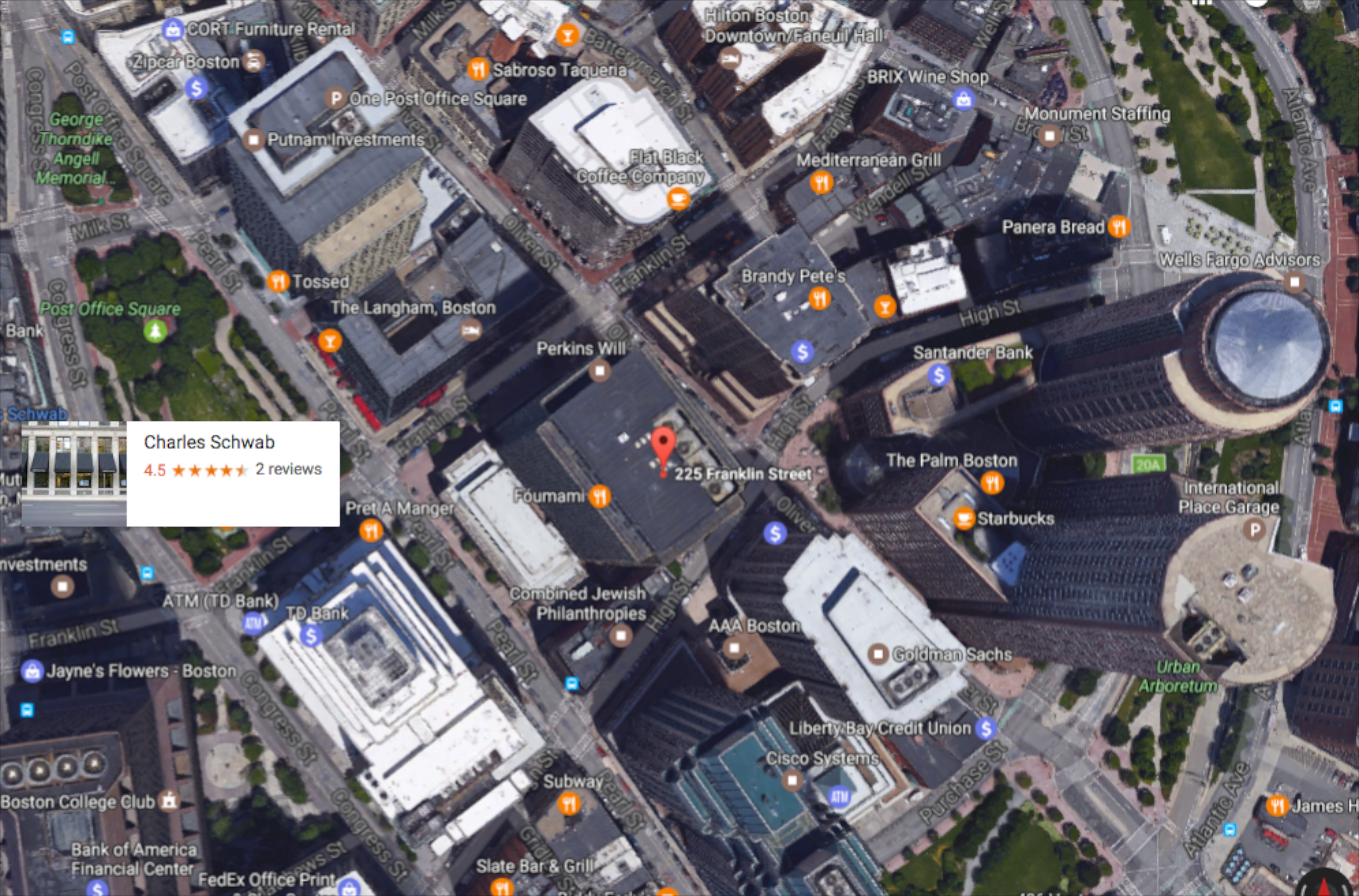
and these GoogleMaps images set the context of 225 Franklin St. within the Financial District:
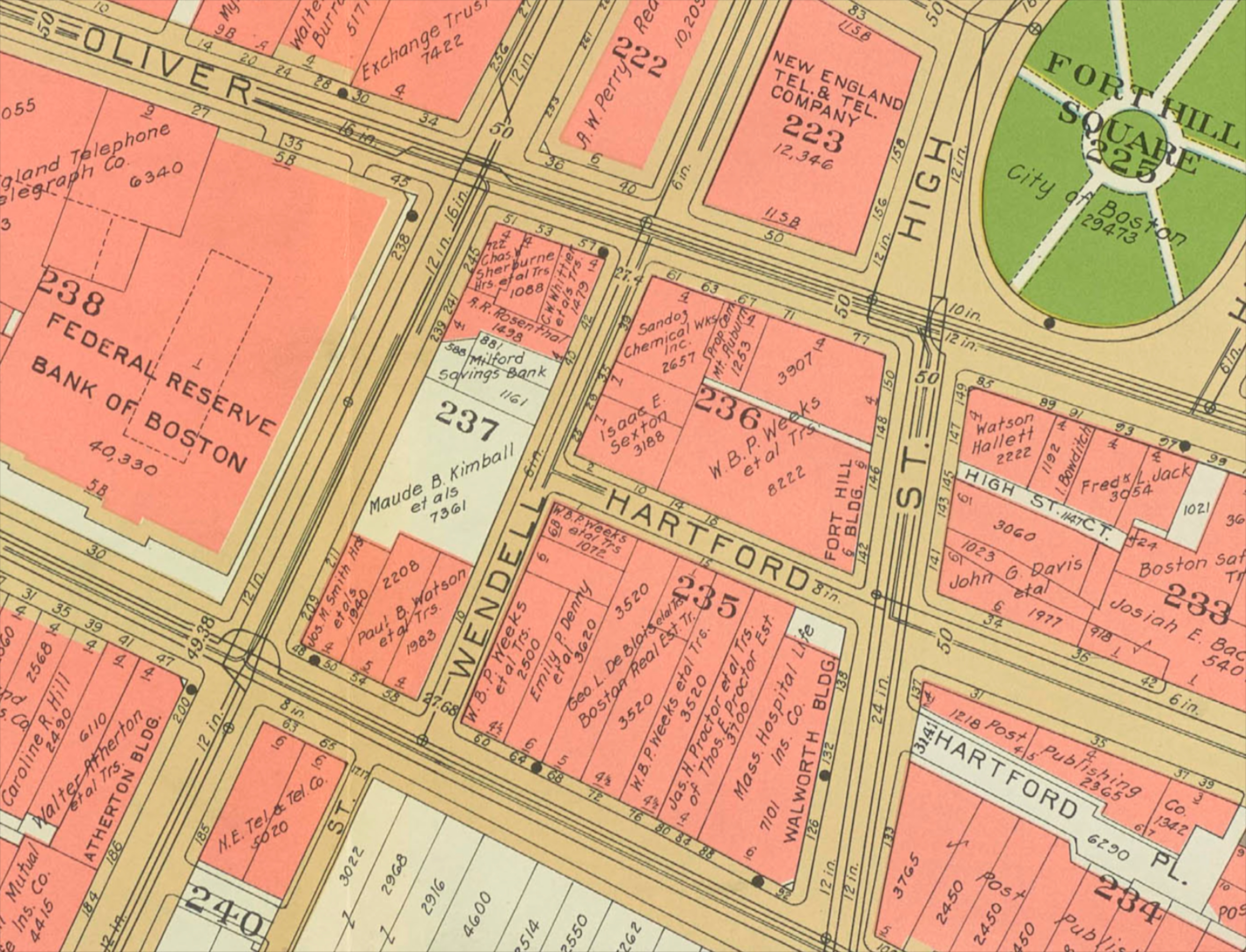
In 1964 it didn't occur to me to wonder about the character of the surrounding area before construction began, so I knew nothing about site preparation, or about how the parcel was put together, or about what was there before demolition. The 1938 Sanborn map of the block shows multiple owners, including insurance companies and banks:
The rash of new building in the Financial District didn't begin until the financial boom years of the 1990s, so the State Street Bank building kept its status as tallest-in-District through the 1970s and 1980s (the building is just to the southeast of the center of the map below, and shows its projected shadow before other high-rise buildings were built nearby).
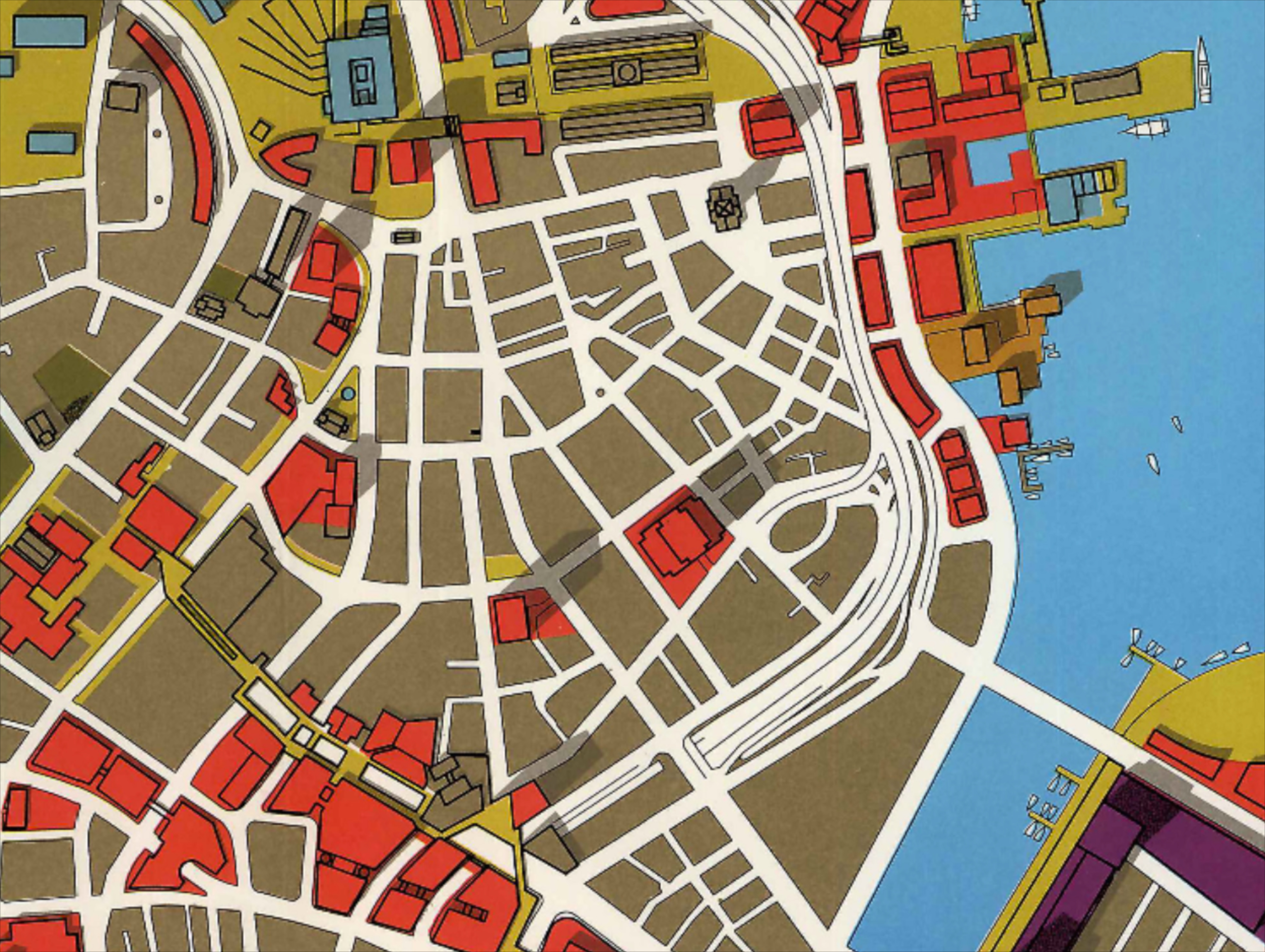
Regional Core Illustrative Site Plan, ca. 1975
From the point of view of Boston's Landmarks Commission, the Financial District is not yet a Local Historic District, and its high-rise buildings are too new to merit attention. On the map below, designated Landmarks are shown in red, and pending Landmarks in pink. The red rectangle to the north of the (uncolored) bank building was formerly the Federal Reserve Bank of Boston, now the Langham hotel; the pink rectangle on Pearl St. is the art deco New England Telephone & Telegraph building, now owned by Verizon.
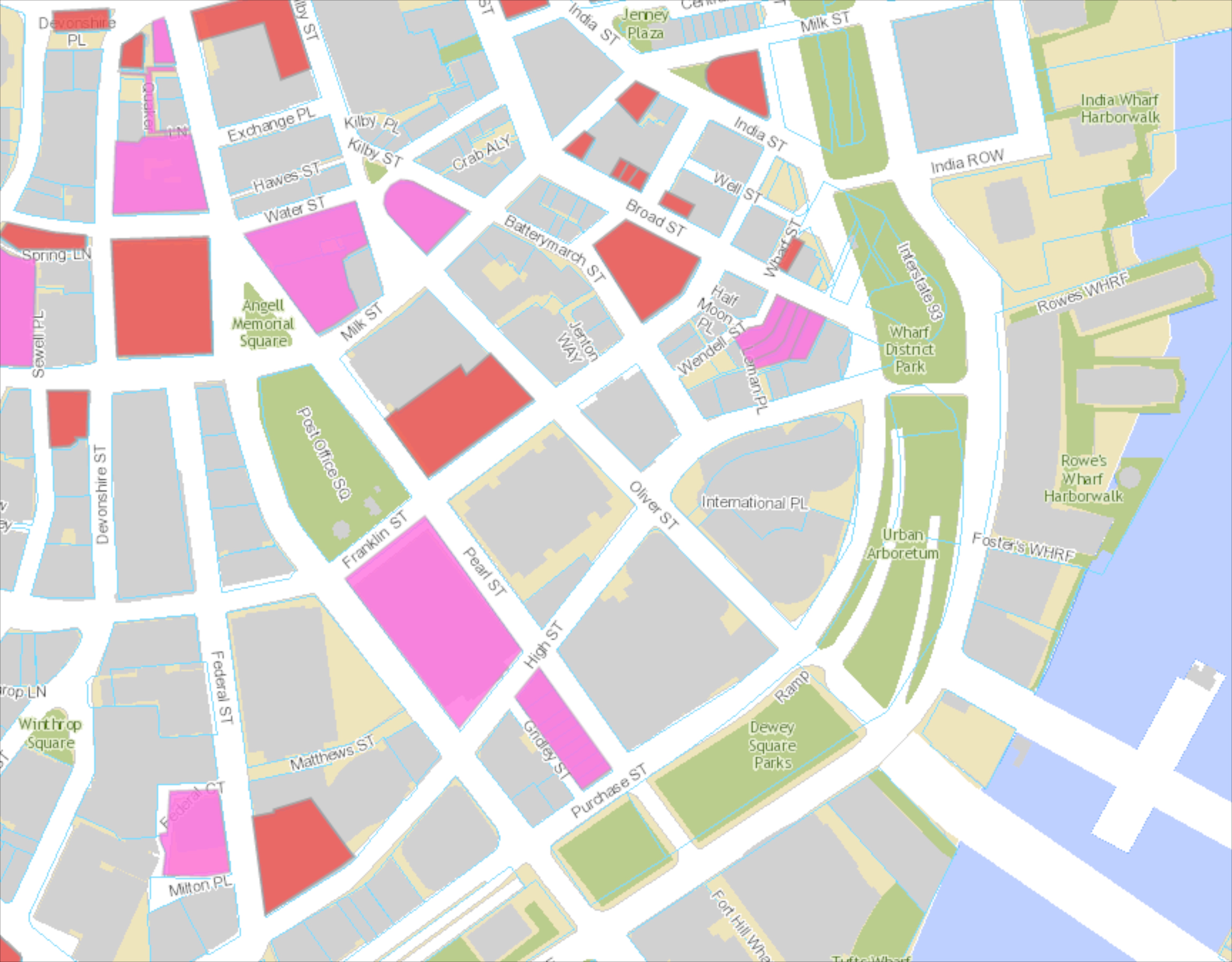
(via https://www.boston.gov/historic-district/fort-point-channel)
There's a long and glorious history of aerial imagery of Boston, beginning with James Wallace Black's 1860 photograph from a balloon:
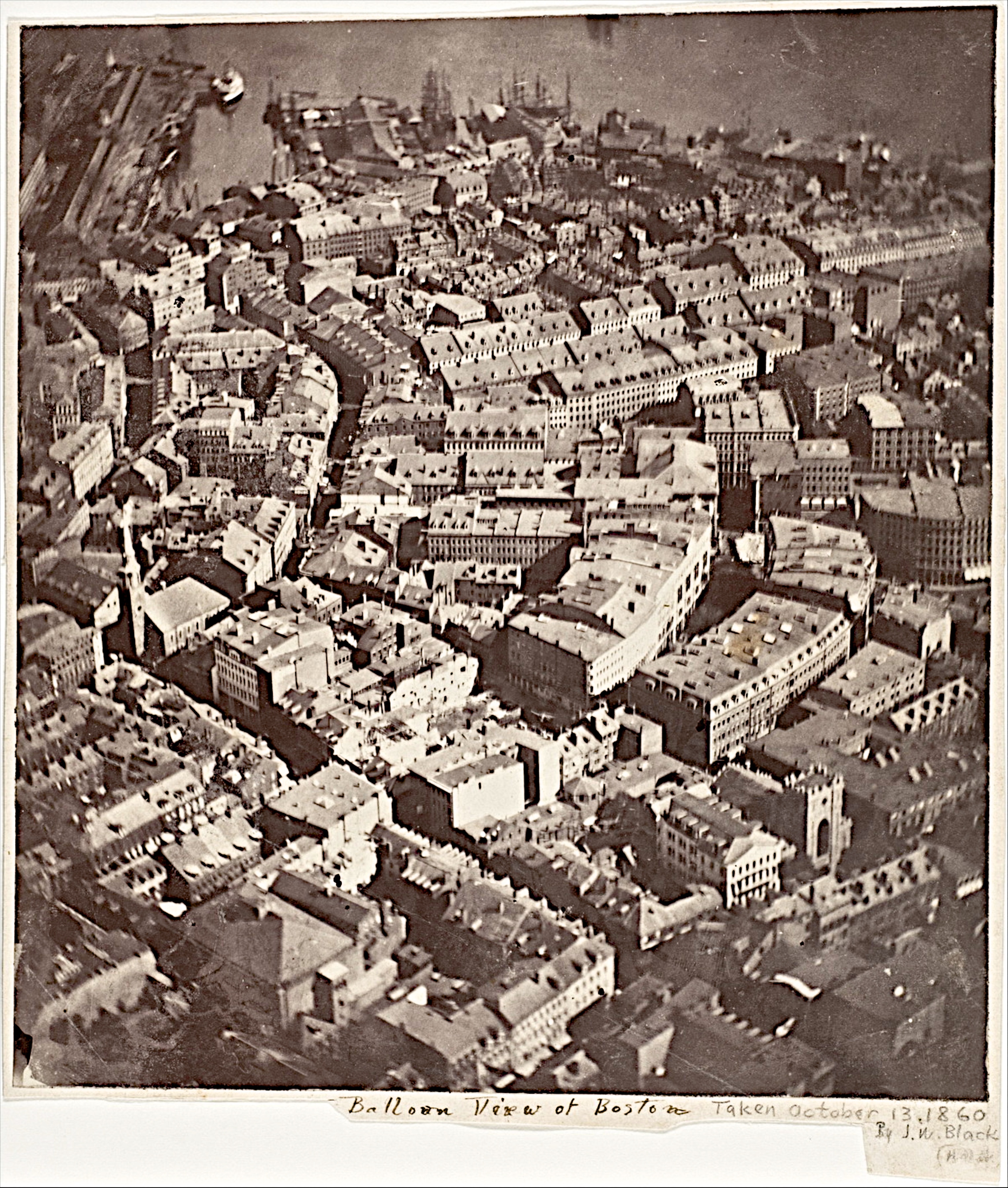
(the State Street Bank site is just off the image, in middle right; much of what's shown on the right-hand side burned during the Great Fire of 1872)
of which Oliver Wendell Holmes (in The Atlantic Monthly) said
Boston, as the eagle and wild goose see it, is a very different object from the same place as the solid citizen looks up at its eaves and chimneys. The Old South [Church] and Trinity Church [left center and lower right] are two landmarks not to be mistaken. Washington Street [bottom] slants across the picture as a narrow cleft. Milk Street [left center] winds as if the old cowpath which gave it a name had been followed by the builders of its commercial palaces. Windows, chimneys, and skylights attract the eye in the central parts of the view, exquisitely defined, bewildering in numbers…. As a first attempt [at aerial photography] it is on the whole a remarkable success; but its greatest interest is in showing what we may hope to see accomplished in the same direction.
A zoomable version of the image is available via The Metropolitan Museum
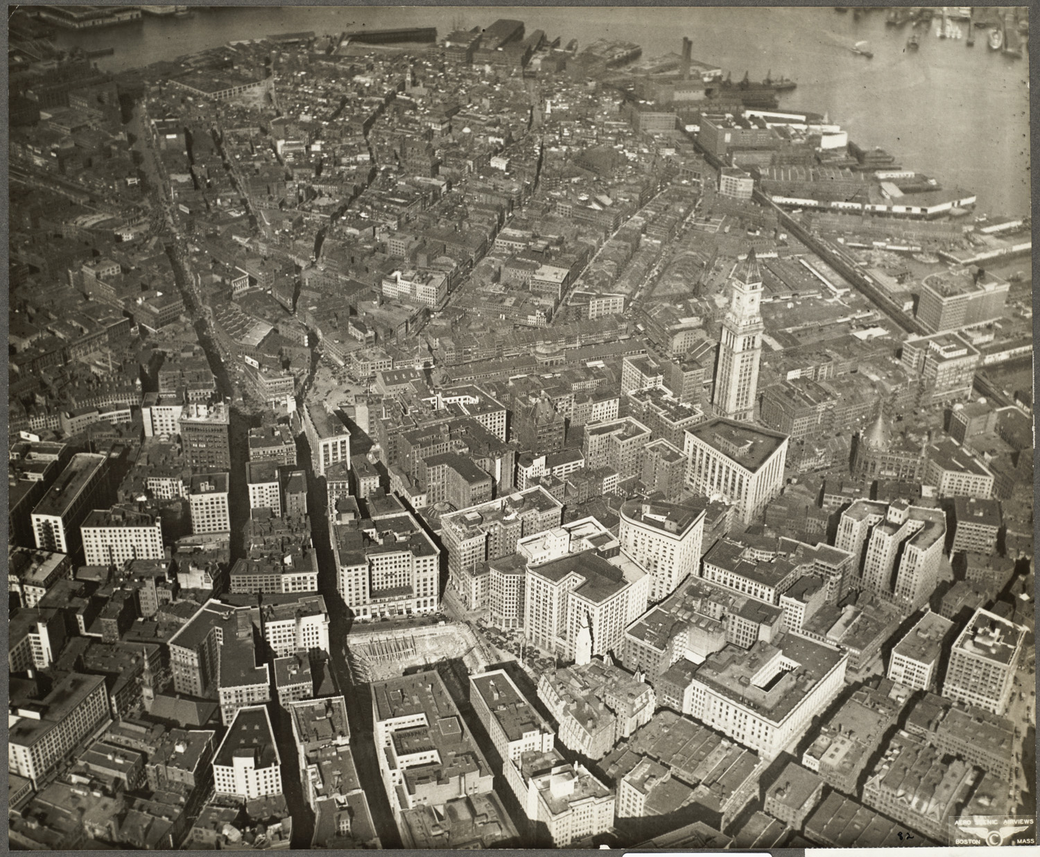
An attempt to discover older imagery of the State Street Bank site took me to a Flickr collection of old Boston aerial photographs and produced this 1930 view of the Financial District, with the Pearl/Franklin/Oliver/High block in the lower right hand corner:
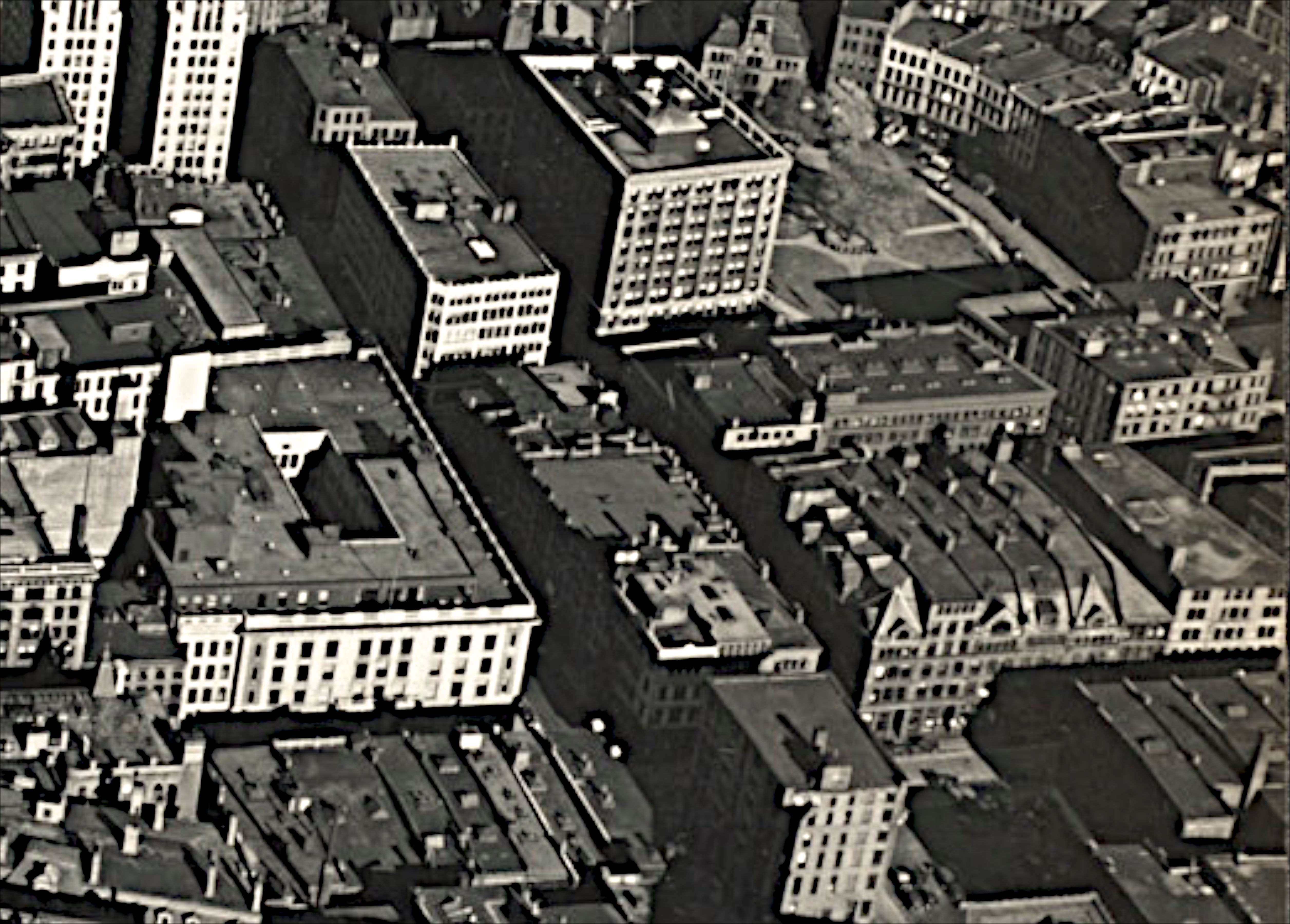
Another slightly oblique view of the site is on the right of this detail from a 1932 image:
see also Leslie Jones photos for more images.