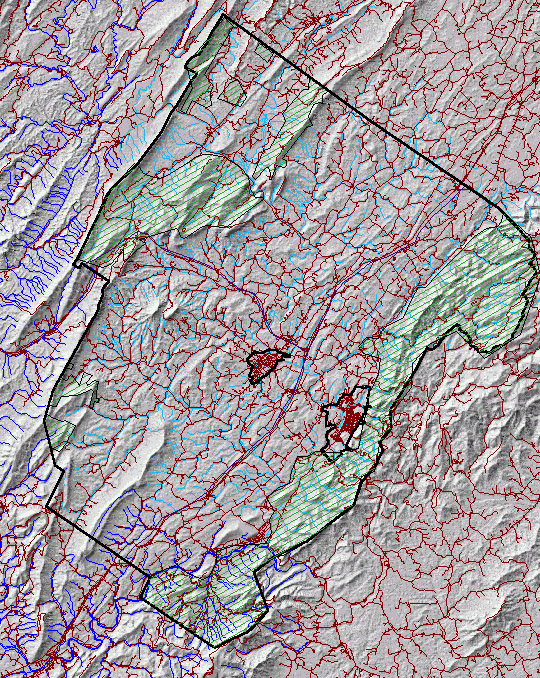
Rockbridge County is in Virginia's Great Valley, just to the west of the Blue Ridge, and lies within a rectangle whose opposite corners are at 38.10N 79.70W and 37.50N 79.10W (UTM 4,220,130N 609,671 W and 4,152,015N 665,499W)
 17
March 2001
17
March 2001
Our coverage will be based upon a map defined by the NAD 1983 projection and UTM coordinates (since large amounts of public data and images are available in that format), but other resources can be adapted to fit that standard. We will build the project with ArcView, and serve it to the Web with ESRI's ArcIMS software, augmented with conventional Web pages. Server space for pilot development will be provided by Washington & Lee University, and developed (during Summer 2001) with the aid of an R.E. Lee grant.
Among the resources, which may be thought of as potential layers in the GIS coverage of the county: aerial photographic coverage from a number of points in time (the most recent was flown on 1 April 2000) and several formats (DOQQ, etc.), satellite imagery, geological and soil maps, census data, cadastral data, vegetation and land use maps, building permit data, settlement and household maps, roads, hydrology, health... and (somewhere) there are both casual and systematic photographic archives of county architecture, including buildings on the National Register. We discussed some specific pilot areas (the fringes of the urbanized areas) as places to begin, and started to build a list of probably-interested parties whom we will invite to a discussion of possibilities, tentatively scheduled for the 19th or 20th of April.
A range of tasks awaits us, some of which are difficult to specify in detail. We want to set up a structure for the Digital Library of Rockbridge that will preserve flexibility and anticipate the unpredictable; we need to collect metadata for all additions to the Digital Library; we need to collect and curate (digitize, massage into ESRI-compatible formats, catalog and link, etc.) existing spatial data and resources; and we need to consider how a front end might look and operate.
I imagine an interface tool that would allow a user to define a rectangle on the basemap and then retrieve pointers to data layers within the coordinates so defined --thus, an index map of aerial photographic coverage from the 2000 series, a list of the houses in the architectural census, a list of building permits issued, etc. The engineering behind such a tool (linking databases and images and indexes) might be the sort of project that would interest a Computer Science student, or a team of R.E. Lee Scholars.
One of the objectives of this project is to involve students and teachers in the county's schools and colleges in work on the surrounding region, to build a sense of place as an integral part of the educational process. Such local history efforts are not uncommon, though few are based in GIS.
31 March
Among the materials that will be useful in developing our thinking about the possibilities of the ArcIMS server is Doug Aberley's Boundaries of Home: mapping for local empowerment (GF23 .C35 B68 1993, in the Science Library). The general subject of 'sense of place' is invoked in many connections, well worth exploring. Chris Camuto's introduction to the W&L Outing Club Guidebook ...
16 April
I've been in touch with Civil Engineering at VMI about their impending
entry into GIS, and I'd like to figure out how they might link up with
this project. Past and present infrastructural development is probably
the link, involving cadets in layers that have to do with roads and bridges
and so on. I know that DOT has and uses GIS, but I have no idea what sorts
of historical information they may maintain.
27 April
Discussions with a number of people at VMI (mostly History department)
about possible collaborations. Turk McClesky, Ken Koons and Dave Hess are
clearly interested, and Doug Harmon (currently the archivist for Augusta
County) and Dave? Coffey...