This one is from /acadproj/vol8/ spain and portugal folders:
Spain & Portugal: Percentage of Children Age 0-4 in 1991 (Portugal), in 2001 (Spain)
Spain Digital Maps (price list) IISBN/EAN: A9788492306701
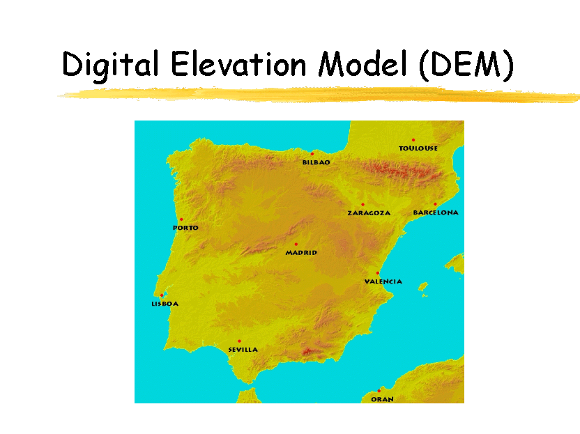
Spain--Digital DTM Topographic Map of Spain (Mapa Militar Digital de Espa˝a). SGE. 1997. This set contains 3 CD-ROMs which give total coverage of Spain, the Balearics, and the Canaries. The digital data is based on the 1:250,000 topographic maps and contain 100m contour information in the DTM files. The program has excellent flexibility for the user and allows visualization in 2 or 3 dimensions; calculation of distances; zooming; and much more. 65-32536 Digital Spain CD-ROM set $79.95
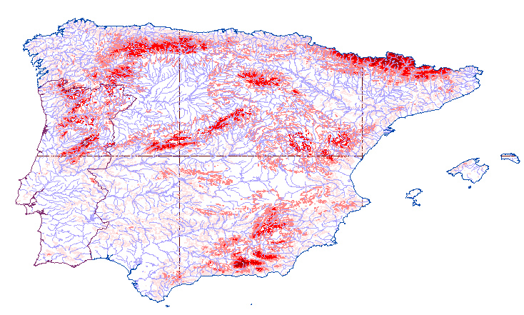
(from http://www.crwr.utexas.edu/gis/gishyd98/watchar/Iberia/index.htm)